Best Road Trip Apps For A Campervan Adventure
Non classifié(e), How-To's & Resources, Trip Ideas & Guides
By Carly Eisley
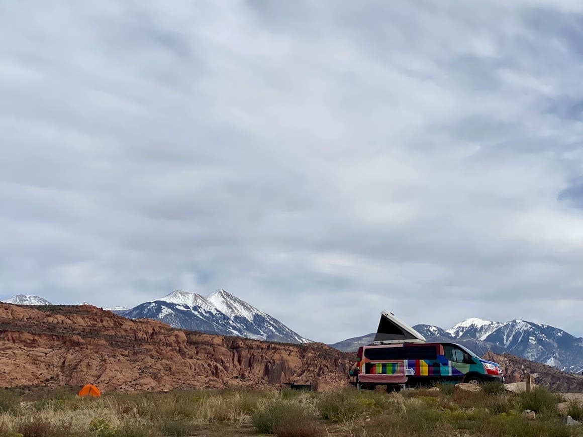
Planning a road trip can be fun but yet exhausting. However, having the right resources during this process can alleviate a ton of stress. From finding the correct route to getting a good night’s sleep, planning ahead allows you to spend time enjoying the trip as opposed to navigating the way.
If you have an upcoming get-away booked, check out some of the best road trip apps that can help during your next Escape Campervan adventure!
Google Maps
Google’s mapping app is easy to use, comprehensive, and, most importantly – downloadable for offline use. The best destinations in an Escape Camper van are beautiful, remote, and outside of reliable cell and data service. The paper maps in the road atlas are a huge help, but having a GPS option is nice security if you are lost or looking for a specific address or landmark.
If you are a planner, plan out your route on Google Maps (a Google account is required) and then transfer them to your app to use on the fly. More of a spontaneous road-tripper? Download your areas of travel and hit the road! Click here for a guide to downloading maps on Android and Apple devices. Once downloaded, the maps will function offline with no extra steps involved. It’s best to download the maps over reliable and speedy Wi-Fi, so try to do this before you hit the road.
Some important points to remember about using Google Maps offline:
- The downloaded maps use storage space on your device, so make sure you have adequate space for the files
- Downloaded maps will expire after 30 days unless they are updated – if you are on the road for an extended period of time, take advantage of Wi-Fi (coffee shops and libraries are good bets) to be sure your maps are up to date and ready to use
RoadTrippers
The Roadtrippers app is a sort of one-stop shopping when it comes to the best road trip planning. This app allows you to enter a starting point and destination, and then plan out your route with points of interest and stops along the way. From parks to campgrounds, museums to quirky landmarks like dinosaur tracks or a giant spider made of a Volkswagen Beetle – you’ll find something for everyone.
Each type of stop is delineated with a color-coded icon, and you can filter your search based on your interests.
Recreation.gov
- Best for: Finding campsites in national or state parks, accessing reservation information on the go, and easily applying for permits on the road.
- Price: Free.
- Download: iOS and Google Play
This website for national park and government agency campgrounds, lotteries, tickets, and access passes has an app as well! This provides easy access to your reservation information and a streamlined way to log in and apply for recreation permits while on the road.

The Dyrt
- Best for: Finding campsites, offline maps access, and discounts (with PRO subscription).
- Price: Free. Dyrt Pro is $35.99/year – Use code « ECV1M » for a FREE 30-day membership to The Dyrt PRO.
- Download: iOS and Google Play
The Dyrt is a great resource for finding campgrounds and campsites. The app (and associated website) has a large database of campgrounds throughout the United States, complete with contact information, websites, user-submitted reviews, and photos.
All of this information is available for free; For a $35.99 yearly fee, you can upgrade to the “Pro” edition, allowing you to download areas to search and access offline, create campground lists for your trips, and access discounts for some camping areas and gear companies.
Allstays
- Best for: Finding campsites and other camping resources. Filtering for a specific campsite type.
- Price: Free.
- Download: iOS
Allstays is an app that takes searching for camping resources to another level. In addition to campgrounds, Allstays provides mapped information, finding rest stops, outfitting stores, businesses allowing overnight parking, truck stops, RV dump sites, and more.
Camping areas are delineated by specific icons and broken down into specific categories like KOAs, state parks, national parks, independently owned, public lands, etc. You can filter your map based on what you want to see and quickly find what you are looking for!
USFS and BLM Campgrounds App
- Best for: Finding USFS and BLM campgrounds.
- Price: $0.99
- Download: iOS
This app shows all the United States Forest Service and Bureau of Land Management campgrounds and camping areas, searchable by location on a map. Clicking on the icon for the campground will provide specific information for each camping area, including distance from your location, contact information/phone number, address, and GPS coordinates, elevation, and local weather.
Each entry has links to a written description and overview of the area, including available facilities and site descriptions, hiking and recreation, a Google map, weather, site photos, and a recreation.gov link where available for reservations and additional information. If you are interested in USFS and BLM camping, this free app is a goldmine!

iOverlander
- Best for: Finding campsites, dump sites, water sources, laundry, showers, etc. Entries also have user-entered trips on amenities, road conditions, etc.
- Price: Free
- Download: iOS and Google Play
iOverlander is another great free option for mapping campsites, RV dump sites, water sources, fuel stations, laundry, and showers. IOverlander is available as a website and mobile app, and it can be used for pre-planning and on-the-fly searching. Clicking on each entry will give you details and some user-entered tips (such as site amenities, road conditions, whether the sites are level, etc.).

HIP CAMP
- Best for: Finding unique and privately-owned campsites,.
- Price: Free
- Download: iOS and Google Play
Hipcamp is a nice option for finding unique, privately owned campsites. Traditional parks and campgrounds are also listed with details and reviews, but Hipcamp’s strong suit is connecting users to campsites hosted by private landowners. These range from isolated hikes in waterfront sites to glamping sites with lean-tos, yurts, or vintage campers. Looking for a one-of-a-kind camping experience? Hipcamp will certainly help get you there!
GAIA GPS
- Best for: Mapping app that includes secondary road and hiking/biking trails for trip planning. The premium membership is highly recommended if you are traveling in remote areas, as it allows you to download the maps.
- Price: Free. Premium membership is $59.90/year
- Download: iOS and Google Play
Gaia GPS is a mapping app that includes main and secondary roads and hiking and biking trails. The free version gives great access to the maps for trip planning and can be used during a hike to monitor your location and stay on route. The $59.90/year premium upgrade is highly recommended if traveling in remote areas and/or using trails in wilderness areas. This upgrade allows the download of maps for offline use, which is crucial in areas with no cell service.
The downloaded Gaia maps can be used to navigate while driving and out in the wilderness on trails. Route planning is also available, and you can upload a previously made GPS route file to follow in the downloaded maps.
Trailforks App
- Best for: Trail mapping app for various outdoor activities with the ability to sort by difficulty and activity.
- Price: Free version available. Trailforks Pro membership is $4.49/month or $53.99/year
- Download: iOS and Google Play
Trailforks is another trail-mapping app that is great for outdoor activities – I have found this app to be especially popular among mountain bikers. Trail types can be filtered by activity (i.e., hiking, mountain biking, horseback riding, dirtbikes, snowmobile, etc.) so you can easily plan and follow routes based on your activities.
Pro Tip! – Gaia and Trailforks are now owned by Outside Magazine. Check them out; you can get a pro subscription to Gaia and Trailforks, plus some other nice perks for $89.99 per year!
Alltrails
- Best for: Trail mapping app for hiking, uses user input.
- Price: Free version available. AllTrails Pro membership is $2.99/month billed once at $35.99.
- Download: iOS and Google Play
Alltrails is a very popular free app among hikers. User–entered routes can be searched by location and sorted by difficulty, as well as categories such as “family-friendly” or “best views.” As with the other GPS apps, for a yearly fee, access to the Alltrails app can be upgraded to a pro edition, which allows trials to be downloaded for offline use.
One caveat with AllTrails – trail information is all user-sourced (as opposed to an app such as Gaia, which only uses surveyed maps), so use caution when following routes; trails can be missing or mislabeled, and this increases the risk of error (i.e., getting lost!).
Native Land
- Best for: Finding indigenous nations and territories around your location.
- Price: Free.
- Download: iOS and Google Play
The Native Land app is based on the mapping of indigenous nations and territories on the Native-Land.ca website. This app allows you to locate your GPS position and will show you information about the indigenous nations and territories around your location. This is important information for anyone who recreates on United States lands, as it is an easy-to-access starting point from which to learn about the origins of the land and the native people who once did (and in most cases still do) inhabit these areas.
WeatherBug
- Best for: Finding indigenous nations and territories around your location.
- Price: Free.
- Download: iOS and Google Play
A weather app is key to a safe and comfortable camping adventure. WeatherBug is a great option because it allows you to set up several different types of alerts, such as severe weather, lightning strikes nearby, impending rain/snow, severe weather, and air quality (just to name a few). You can set up the alerts for your current location as well as for saved locations you plan to visit along the way.
Download Your Best Best Road Trip App And Plan Your Next Adventure!
We hope these digital resources help you to plan the road trip of a lifetime! What is your favorite camping or road trip planning app? Book your campervan from one of our many Escape rental locations and discover places to go during your campervan road trip!